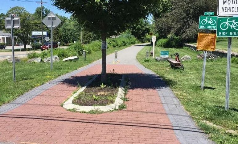
 The nine-mile long Putnam County Trailway is a paved bicycle/pedestrian path located primarily on right-of-way lands of the former Putnam Division of the New York Central Railroad.
The “Old Put” as it was formerly referred to by commuters, provided freight and passenger service from 1881 to 1958 between the Bronx in New York City and Brewster in Putnam County.
The Putnam Railroad once served six stations in Putnam County, some of which still stand today. Station stops included Brewster, Tilly Foster, Carmel, Crafts, Mahopac, Lake Mahopac and Baldwin Place. The Lake Mahopac station building is known today as the American Legion Post building on Bucks Hollow Road.
The area locator map at the right shows the general location of the trailway. You can see a larger scale maps here, which includes access points, local roads and nearby parks and facilities.
The Putnam Right-of Way spans 12 miles through Putnam County, from the Westchester County border at Baldwin Place to Brewster Village where it merged into the Harlem Line Tracks.
At Baldwin Place, the Putnam Trailway connects to the North County Trailway, which continues south through Westchester County and into the Bronx to Marble Hill (225th Street). The route is part of the Empire State Trail.
Two branch lines are in the trailway planning stages. These include a route along the former Harlem Railroad Lake Mahopac Branch between Lake Mahopac to Goldens Bridge, and the other from Baldwin Place to Mahopac Falls on the New York Central bed.
You can read more of the history of route, with lots of photographs, online courtesy the Putnam County Historian’s Office.
Source link