 The old Mohawk Turnpike between what are now Albany and Rome, NY, was originally an Haudenosaunee (Iroquois) trail used frequently by Mohawk and Oneida people in particular, but many others as well.
For the first two hundred years of European settlement it was the only major link between the Hudson River and the Great Lakes. It became an important national transportation connection.
Improved mainly by the efforts of settlers and military operations, it became a King’s Highway when the Crown supported improvements before being used extensively during the French and Indian War and the American Revolution as a military road. It was incorporated as the Mohawk Turnpike in 1800, serving military operations, and those hauling freight or emigrating west, along with stage coaches and business and political travelers.
The word “turnpike” comes from the use of a pike or pole balanced and swinging on a post used as a toll gate. When the toll had been paid, the pike was turned parallel to the road allowing passage.
 It was later paralleled by the Erie Canal (1825), the New York Central Railroad (1853), the Barge Canal (1918) and the New York State Thruway (1955). Today it’s collectively Routes 5 and 5S and is recommended for a slower, but more picturesque and relaxed jaunt between Rome and Schenectady.
The Way West
Schenectady was established on the South Side of the Mohawk around 1660 and became an outpost of Dutch and then English rule at the eastern end of the Valley. The road between Albany to Schenectady was finished in 1661.
Fort Hunter (after colonial Governor Robert Hunter) was built at south side of the river at the confluence with Schoharie Creek in 1711. Around that time the Palatines arrived and settled in such villages as Stone Arabia and Palatine Bridge, eventually reaching Herkimer (German Flatts) prior to the Revolutionary War.
From then until the Revolution the road on the Mohawk River’s north shore was called the King’s Highway, then the Mohawk Turnpike. By 1725 the old trail was also improved on the Mohawk’s south side and by 1730 it was a regular wagon road to Utica and Rome.
Critical to the British and earlier to the French during the colonial wars and the American Revolutionary War, this road was key to moving men and materiel west to Fort Hunter, Fort Schulyer, Fort Stanwix, Fort Niagara, Fort Oswego (later Fort Ontario) and on to Sackets Harbor during the War of 1812.
 The 24-foot wide Mohawk Turnpike’s first tollgate was 10 miles west of Schenectady after crossing the Great Western Gateway Bridge (built by the Mohawk Turnpike and Bridge Co.) between Scotia and Schenectady. Four road districts were established: Schenectady to Fonda, Fonda to Nelliston, Nelliston to Herkimer, Herkimer to Utica.
In the 100 miles or so miles between Schenectady and Oneida Lake taverns were said to have been established every mile or so next to the turnpike, between them were farmhouses and with their fertile lands adjacent to the Mohawk River.
It was said the black soil had a depth of 15 feet in places with hay, wheat, oats, barley, and buckwheat the principal crops. The south shore road, shortest and easiest to the the Schoharie Valley route south featured particularly impressive scenery.
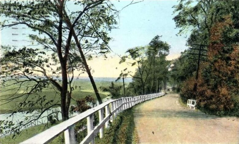
Illustrations, from above: An Old Mohawk Turnpike map; an Old Mohawk Turnpike postcard, ca. 1925; and the 1747 Nellis Tavern on the Mohawk Turnpike (Route 5), just east of St. Johnsville, NY in 2013 (provided by Palatine Settlement Society).
Source link